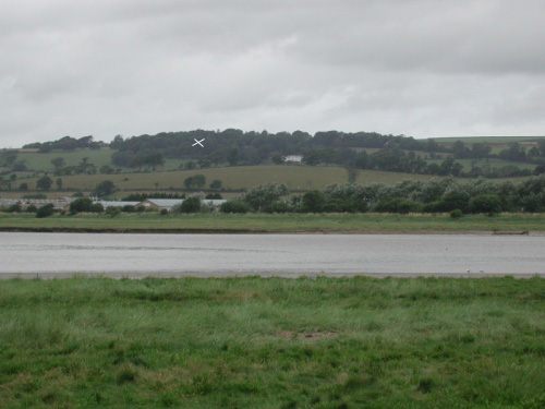
Understanding the height (110m) of a Fullabrook Turbine

Ashford Hill
This photograph shows the hill that I walked up on my way up from Bradiford
 towards the southern part of the site - the photo was taken from the Tarka Trail on the other side of the Estuary, not far from the new bridge. The White House on the slopes of the hill is called Upcott House, and if you go to Get a map and search Barnstaple, then look for Ashford, on the west side of the town, you can see the contours if you zoom in. The trees on the top of the hill are between the 110m and 120m contours.


map
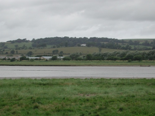
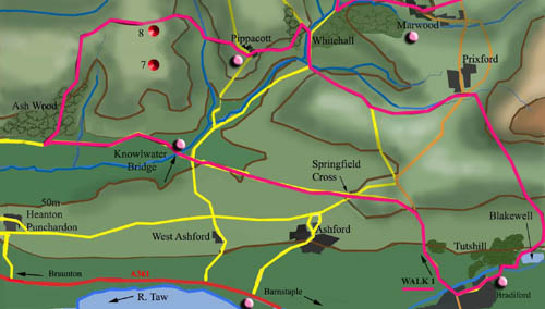
This is a map, showing the same area. Bradiford, and Barnstaple, are in the
bottom left corner. I walked up from there following the pink line on the map.


110m high
This cross is (as close as I can approximate it) at about the 110 metre contour on the hill. If one of the 110m high Fullabrook turbines was to be placed on this spot, the tip of its blade would be another 110 metres directly  above this spot..   at double the height of this hill.

 The previous image that I uploaded was  not meant to show a technically accurate representation of a wind turbine, but as it caused some confusion, I have replaced it with this image, and hope it makes better sense this time! 
The Fullabrook turbines will be set a little further back, mainly on land higher than this.
Back