This photo was taken as we walked up the footpath from Yelland towards
the little hamlet of Bickleton. Mo Mugridge and her dog showed me the
way to the proposed site.
|
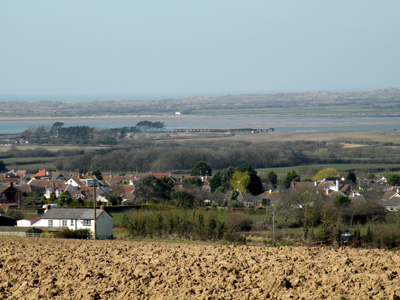
A little higher up, we stopped to
look back down onto the Taw Estuary. You can see the "White House" near
Crow Point, with Braunton Burrows behind it.
|
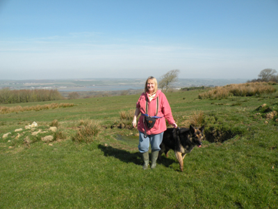
We quickly arrived at the field where the turbines would be. Mo is
standing on the approximate location of one of the turbines. The ground
was wet, and you can see a small pond behind Sabre.
|
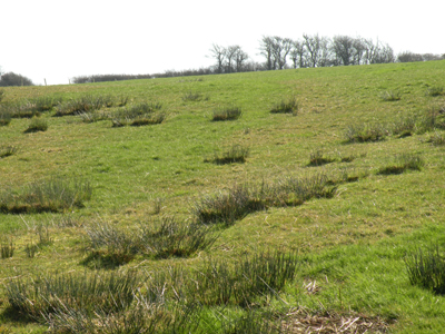
This is another photograph of the
turbine field, which was quite damp, making us wonder about possible
problems with the concrete bases, and damage to springs, etc.
|
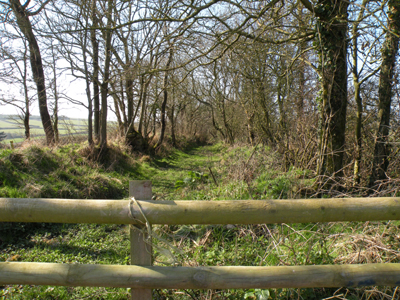
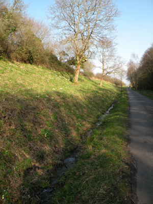
At the top of the hill, there is a beautiful old lane, which I believe
is quite an ancient one. It made me think of Burland Road, on the
Fullabrook Downs. These old lanes are part of our heritage and need
preserving. How safe is this one now?
|
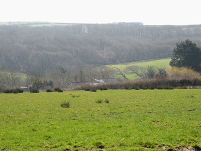
Just over the rise from the lane,
we looked down onto the little hamlet of Bickleton. Some of these
houses would be very close indeed to the proposed turbines, maybe less
than 400 metres away.
|
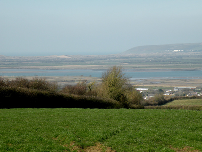
Coming back down again, here is a view across Braunton Burrows to
Saunton. You can see the famous Saunton Sands Hotel.
|
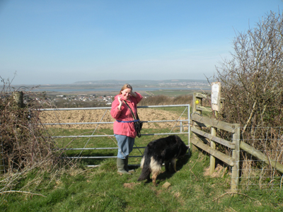
Mo and Sabre again, at a gate on
the footpath, with Saunton in the distance again.
|
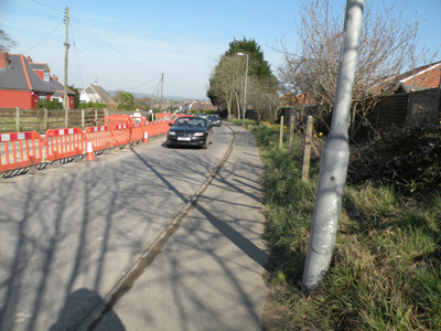
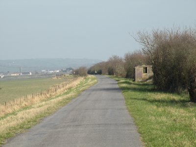
When I left Yelland, I walked for a short time along the main road,
past these roadworks, between Yelland and Fremingotn. there are plans
to build 100 new homes on the land to the right of this photo.
Could all these new homes be at risk from turbine noise?
|
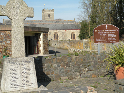
This is Fremington Church, in the
March sunshine. Just past the church there is a footpath down to
Fremington Quay, which I took. I found myself wondering how many people
in Fremington - even now - realise that their view across the Estuary
towards Heanton and Ashford is going to be marred by giant turbines?
|
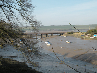
The footpath winds down between trees, and I took this photograph when
I was close to the Quay itself.
|
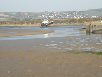
I took this photograph from Fremington Quay itself. It had been a most
beautiful day, and people sat on benches enjoying the warm sunshine.
You can see Ashford across the Estuary.
|
 |
The photograph on the left shows some primroses on the Tarka Trial. The
one above shows the view towards Barnstaple. You can just see my son
David who walked out to meet me. You can also just see Trinity Church
tower, which is a great feature of the Barnstaple landscape. Trinity
Church Tower is also under threat.
|
|
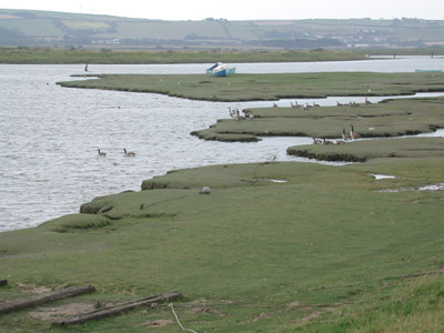
Another walk:
The photo on the left is one I took last summer when walking to
Crow Point.
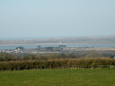
During the walk to Crow Point, on the other side of the Estuary, I took
this photograph, looking over at the hills above Yelland (where Mo was
standing in the photos above)
See more views of the walk
to Crow Point and the Fullabrook Hills.
Back
|